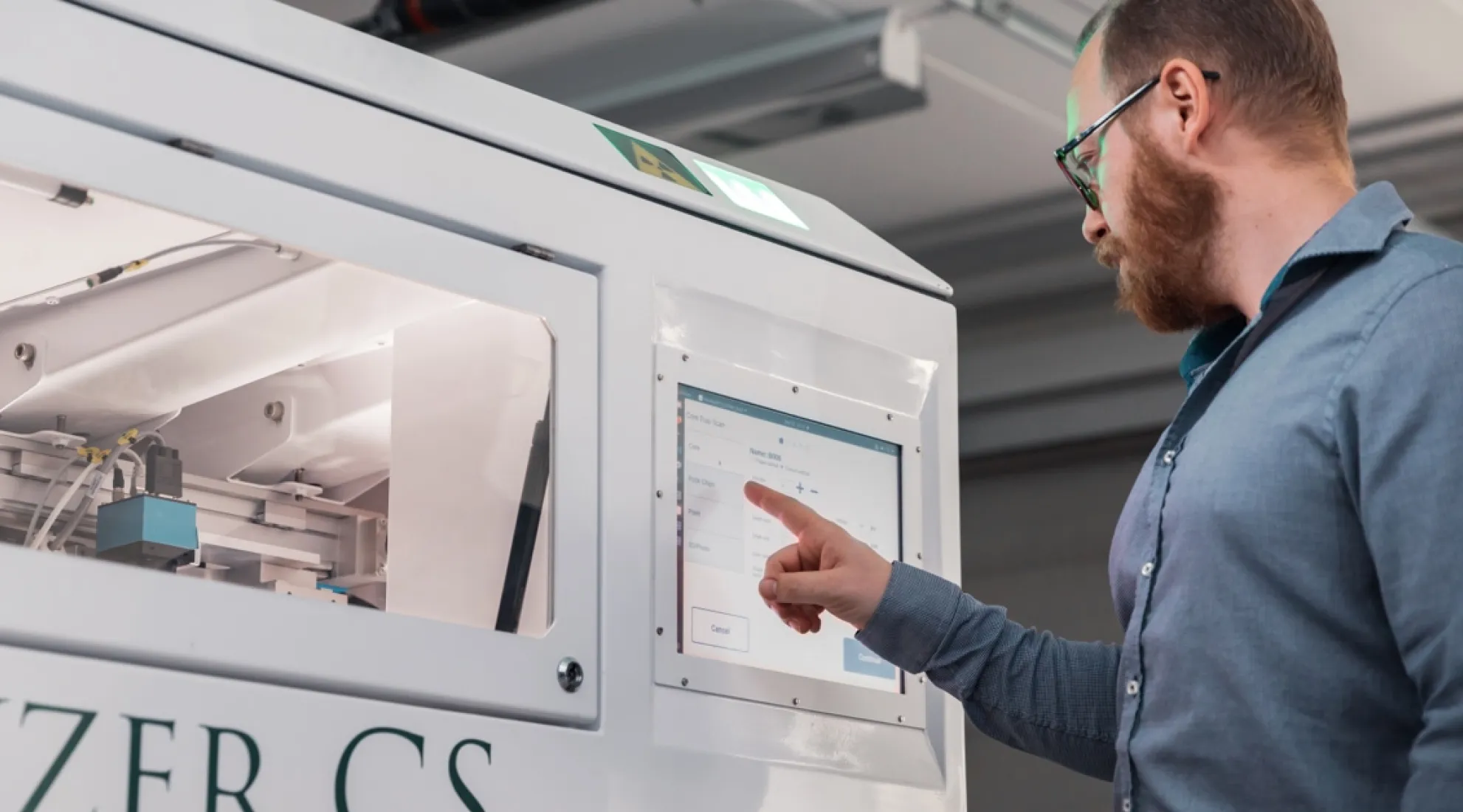
A revolution in geoscientific operations
Geochemistry, high-resolution images, specific gravity, volume bulk density, RQD, and a platform for structural logging
Designed in Sweden.
Used all over the world.
The Minalyzer is a product that offers mining operations all over the world advanced analytical instruments for geological data acquisition and related software for data visualization.

Better Results. Faster.
Minalyzer's on-site geochemical analysis enables geology teams to prioritize lab assays, accelerating project timelines and improving outcomes. Seamlessly integrating with drill campaigns and resource modeling, it optimizes performance across the board. Additionally, Minalyzer enhances core shed operations by streamlining processes and improving safety standards.
Revolutionary
Unleash the Power of Minalyzer CS
01
Chemical Assays
Uncover Hidden Insights
The Minalyzer CS provides mining operations worldwide with advanced analytical instruments for geological data acquisition, along with software for data visualization and interpretation.

02
High-Resolution Photography
High-Resolution Photography
The Minalyzer CS features consistent, high-resolution photography that captures detailed images of geological samples, revealing textures, grains, and structures at a microscopic level. Enhanced clarity and precision enable better interpretation and analysis, providing deeper insights into your geology. The consistent, high-quality images are also ideal for AI applications.

03
Precise Topography
Precise Topography
Using state-of-the-art laser scanning technology, the Minalyzer CS delivers precise topographical data of geological samples. This advanced technique maps surface contours and features with exceptional accuracy, enabling a thorough understanding of sample morphology. Precise topography is essential for accurate volume estimations and structural analysis, leading to more informed geological interpretations.

04
Advanced AI
Advanced AI
The Minalyzer CS utilizes advanced AI algorithms to transform the analysis of geological samples. This AI-driven approach enhances data interpretation and predictive analytics, revealing patterns and anomalies that are not visible to the naked eye. By automating complex analyses, it reduces core processing time while improving accuracy and reliability. This cutting-edge technology empowers geologists and researchers with enhanced analytical capabilities, enabling smarter decision-making and groundbreaking discoveries.

Unleash Geological Insights
Experience the power of Minalyzer, the cutting-edge geological scanning technology.


Explore Geoscientific Data
Discover the comprehensive geoscientific data provided by Minalyzer CS, including chemical assays, photography, topography, rock quality, structural logging, and specific gravity. Each data type offers valuable insights for geological analysis and exploration.

Photography for Analysis
Photography is essential for geological sample analysis and documentation. Our high-resolution images capture detailed visual data, aiding in the interpretation of geological features and ensuring accurate analysis.

Rock Quality Assessment
Our rock quality assessment provides critical information on the strength, durability, and stability of geological formations, helping to make informed decisions in mining and construction projects.
Unlocking Geological Insights
Discover the power of Minalyzer's cutting-edge technology for quick geochemistry and exploration geology.
Unleash the Power of Minalyzer Technology
Experience the cutting-edge geological scanning technology transforming exploration and mining. Minalyzer delivers unmatched speed and accuracy with:
- Compact XRF core scanning for precise measurements
- High-resolution photography for detailed analysis
- Topography scanning for 3D models and visualization


News
Accurately survey holes with a drill crew using stackable TruProbe product architecture. And without the need for a logging truck.

Contact Us Today
Thank you! Your submission was successful.
We will make contact with you as soon as possible.
We will make contact with you as soon as possible.
Oops! Something went wrong while submitting the form.


